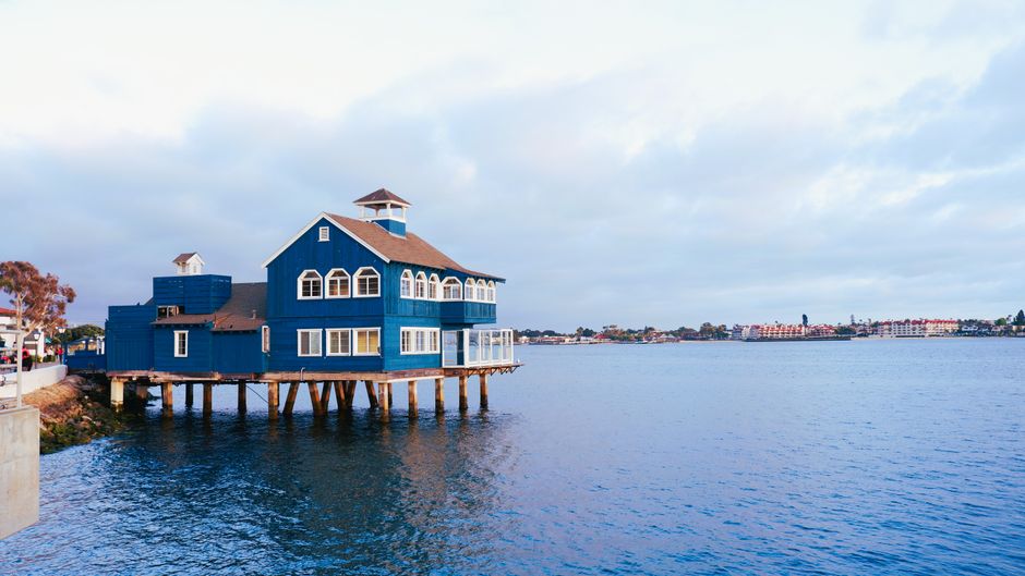
San Diego's city planning database contains thousands of duplicate property images — photographs filed multiple times under different parcel numbers, mislabeled addresses, or conflicting project files — and the department responsible for managing those records now faces a hard deadline to sort them out. The Planning Department has until September 30, 2026, to complete a data reconciliation phase tied to the city's ongoing General Plan update, according to city documents reviewed this week. What gets fixed, and what gets quietly buried, will affect development decisions from Barrio Logan to Kearny Mesa for years.
The problem matters right now because San Diego is midway through the largest rezoning cycle it has attempted since 2008. Roughly 100 community plan updates are either active or pending across neighborhoods including North Park, City Heights, and Otay Ranch. Each update depends on accurate baseline records — including photographic documentation of existing structures, lot conditions, and streetscapes. When the same image appears under two different addresses, planners working on environmental impact reviews can draw wrong conclusions about density, parking, or historic preservation eligibility.
Who Owns the Problem — and the Fix
The City's Development Services Department and the Office of the City Clerk share custodial responsibility for digital planning records, but the overlap in jurisdiction has created accountability gaps. The Civic San Diego corporation, which manages redevelopment successor activities in downtown, maintains its own parallel image library for parcels in the Centre City Development area, adding another layer of potential conflict when files are cross-referenced. Community planning groups in neighborhoods like Golden Hill and Encanto have flagged specific cases where site photographs attached to variance applications did not match the parcels listed in public hearing notices.
The San Diego County Assessor/Recorder/County Clerk's office holds the authoritative parcel map database, but that office's records and the city's internal project files are not automatically synchronized. Any image replacement process requires a manual reconciliation step — someone has to look at the photograph, confirm the address, pull the parcel identification number, and update the record in the city's Accela permitting system. At current staffing levels, that is not a fast process.
The Decisions That Will Define the Outcome
Three choices are coming that will determine whether the cleanup actually happens or gets deferred again. First, the city must decide whether to hire dedicated contract staff for the reconciliation project or absorb the work into existing planning division workloads. The Planning Department's fiscal year 2026-27 budget, adopted in June, allocated roughly $4.2 million for technology and records improvements citywide, but it is not yet clear how much of that sum is earmarked specifically for image database work.
Second, city leaders need to settle on a verification standard — meaning, what level of evidence is sufficient to confirm that a replacement image actually shows the correct property. Using Google Street View captures as backup confirmation, for example, is faster but introduces its own accuracy issues on streets where imagery may be years out of date. Several blocks along Imperial Avenue in southeastern San Diego and stretches of El Cajon Boulevard have Street View data that predates significant demolition and construction activity.
Third, and most consequentially for residents, the city has not yet committed to a public notification process. If a parcel's photographic record is corrected after a community plan update has already passed an environmental review stage, affected property owners and neighbors may not automatically learn that the baseline data changed. Community planning committees in districts like Southeastern San Diego and Mission Hills have separately asked the Planning Commission to formalize a notification requirement before the fall deadline arrives.
Residents who want to flag a suspected duplicate or incorrect image in their neighborhood can submit a records correction request through the city's Development Services public counter at 1222 First Avenue downtown, or through the online portal at sandiego.gov. Community planning group meetings — most of which resume after the summer recess in August — will also be early venues to press district planners on where specific neighborhood records stand before the September deadline.